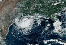

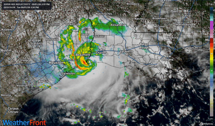
Tropical Storm Edouard is making landfall right along the Texas/Louisiana line this Tuesday afternoon. Fortunately the storm has been held back in strength by limited time over water and proximity to land, but it has still managed to strengthen to have 60 m.p.h. winds at landfall. Gusts to near hurricane force are likely occurring over the water near Sabine Pass, TX and Cameron, LA.
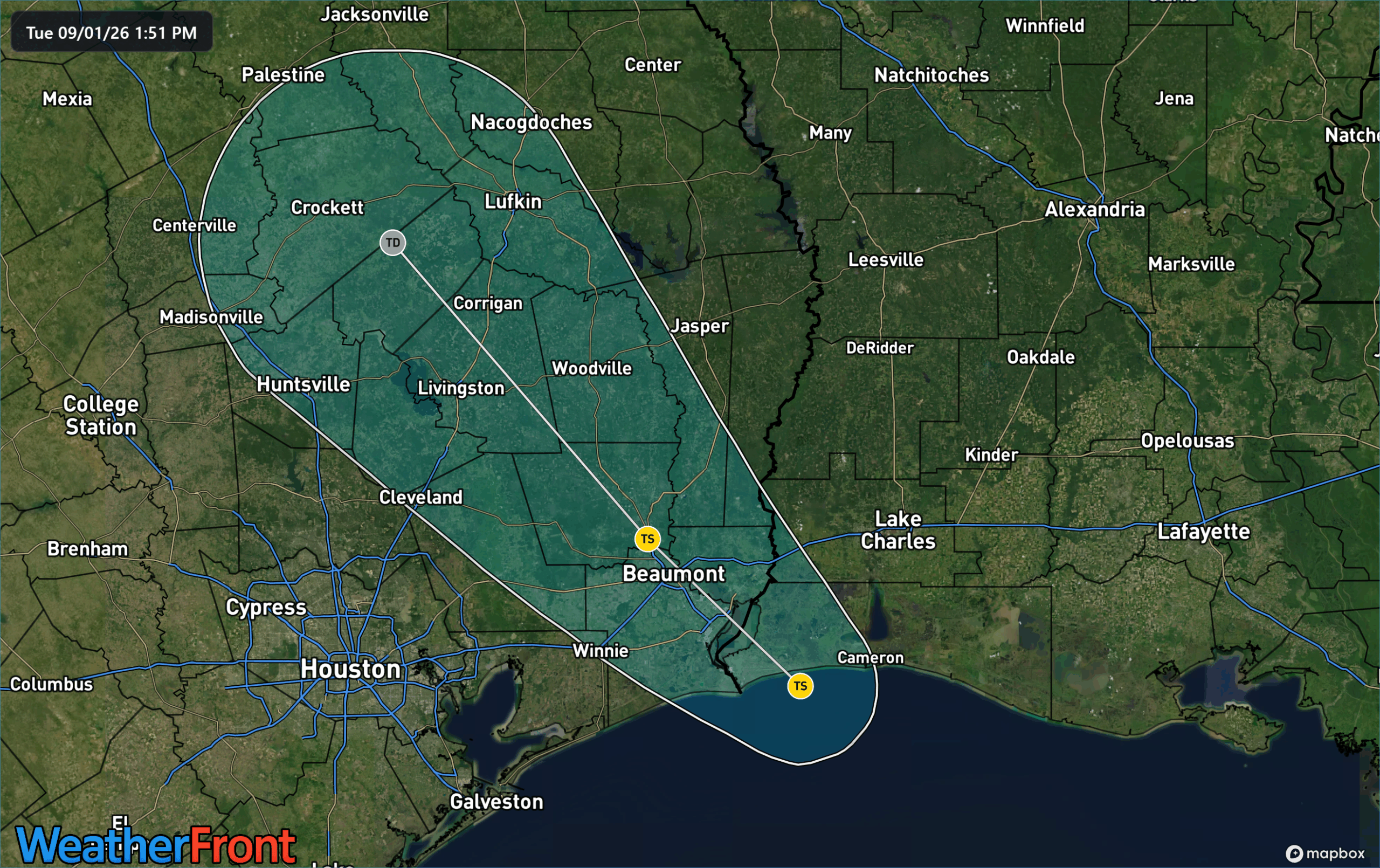
A Tropical Storm Warning is in effect for the coastal regions northeast of Galveston over into the sparsely populated Central Louisiana coastline. Tropical storm conditions are likely as far inland as the north side of I-10 north of Beaumont, TX.
While 60 m.p.h. winds are nothing to sneeze at, the main threat from Edouard will be heavy rain. A Flood Watch is in effect for much of eastern Texas to the Louisiana border where a band of heavy rain is expected to set up and crawl north/west overnight tonight. Current modeling shows a band of locally very heavy rainfall along the eastern side of Houston to the northwest. In this area 3-5″ of rain is possible, if not likely, with isolated amounts of 6-9″ also possible. The image below shows the latest from the high resolution HRRR model which shows the potential for these pockets of extremely heavy rain through Wednesday evening.
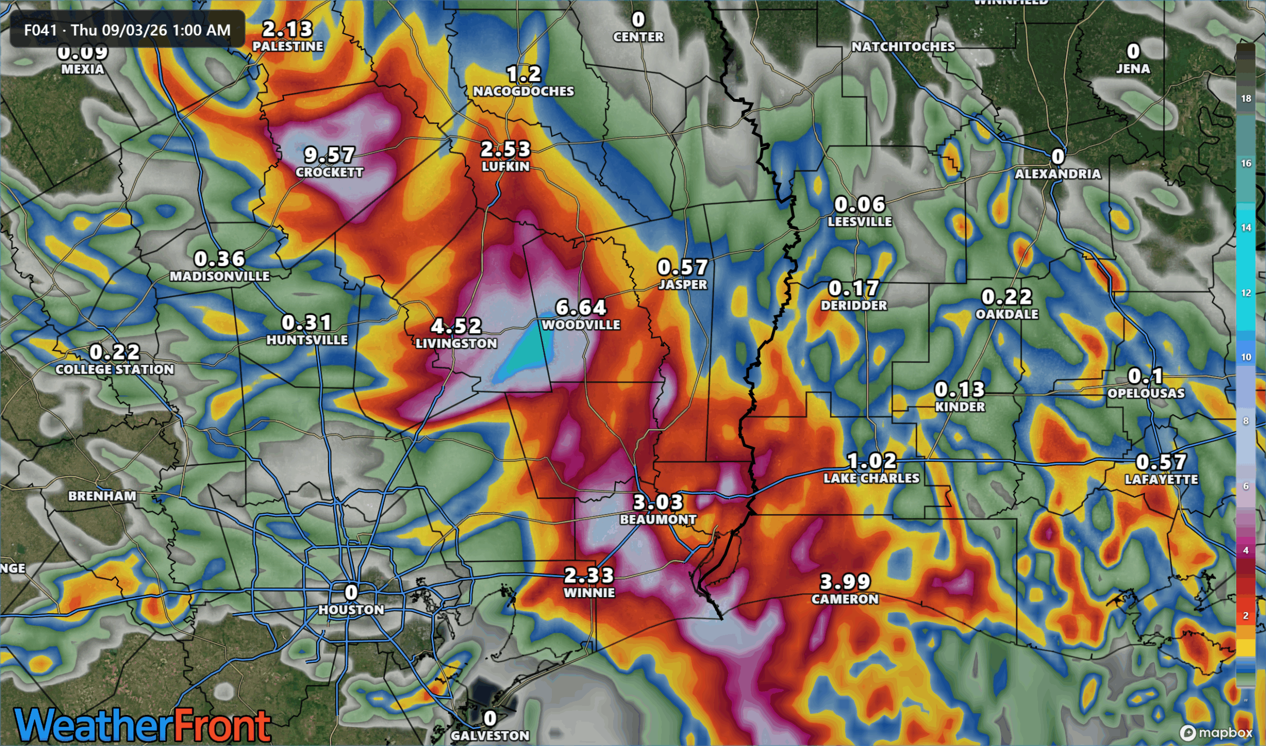
Edouard will dissipate quickly after making landfall tonight though the rain threat will continue through Thursday. We expect to see tropical activity continue to pick up as we head towards the peak of hurricane season around mid-September.
Don’t miss what everyone in town is talking about.
Join 4,000+ locals and choose our free newsletter covering news, events and the stories shaping our region.