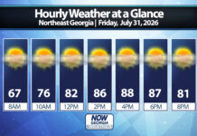

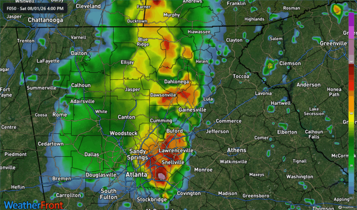
While we have been enjoying the dry, low humidity weather in the wake of Wednesday night’s storms, another low pressure system has been getting itself together to our west. This system will push east into the region by Saturday bringing with it some heavy rain and isolated flooding.
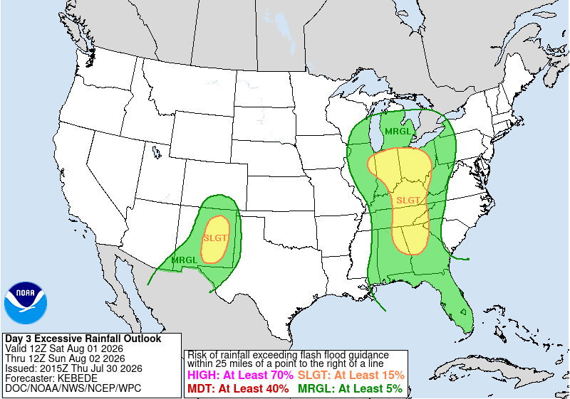
The Weather Prediction Center has all of North Georgia and parts of Central Georgia under a slight risk (level 2/4) for flooding with the remainder of the state under a marginal (level 1/4) risk.
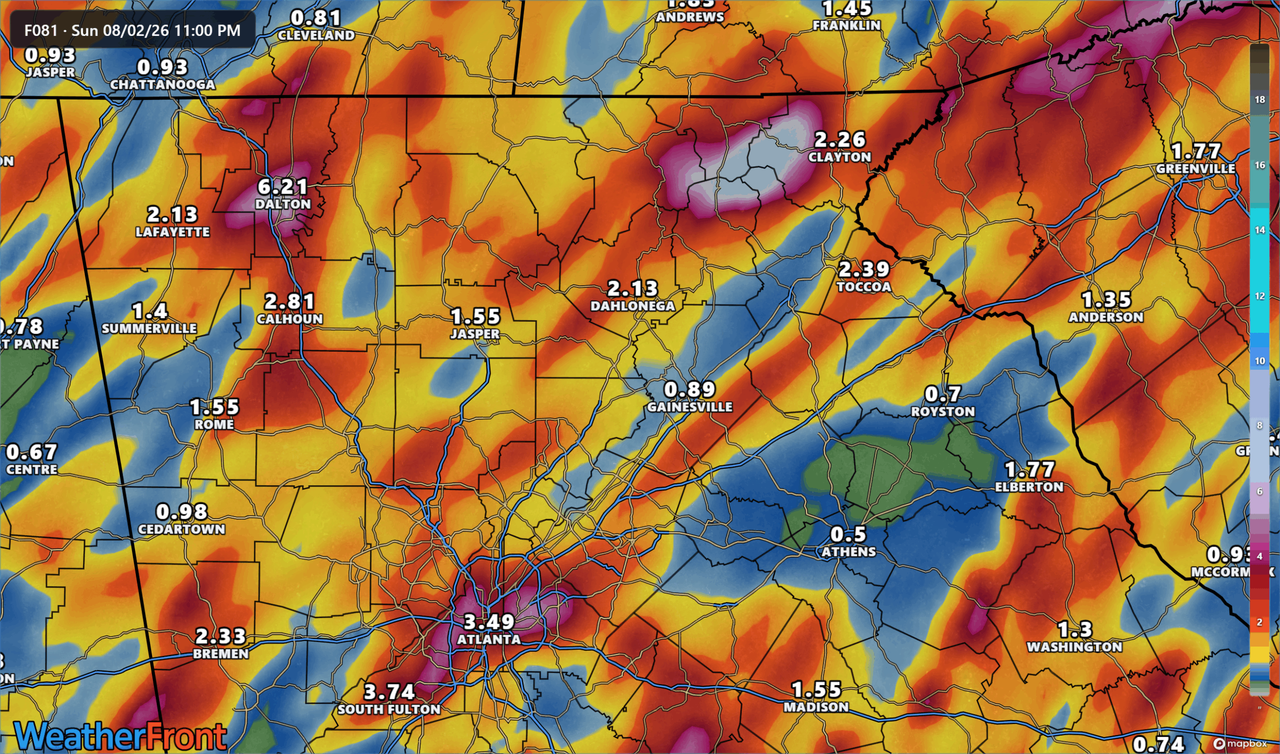
Models remain a bit scattered with totals varying between the global models and higher resolution ones, but all signs point towards at least some scattered heavy rainfall embedded in more widespread rain on Saturday and Sunday. There will be plentiful moisture in the atmosphere, and a slowly moving approaching front should be very efficient in squeezing that out in the form of thunderstorms. These storms will move in initially on Saturday afternoon with more lingering through Sunday and into the beginning of next week.
Totals will vary depending on your location and how many of these heavy storms you get underneath. Generally 1-2″ is expected on average but we expect to see some isolated higher amounts in pockets across the region.
Stay with Now Georgia for the latest on this flooding threat.
Don’t miss what everyone in town is talking about.
Join 4,000+ locals and choose our free newsletter covering news, events and the stories shaping our region.