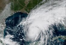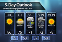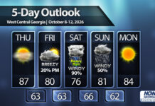


Both a High Wind Watch and Flood Watch have been issued for most of North and Central Georgia ahead of approaching Hurricane Isaias.
High Wind Watch
A High Wind Watch is in effect from 8 a.m. Saturday to 8 a.m. Sunday for all North and parts of Central Georgia except the South Carolina border counties under the Greenville NWS.
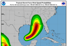
In association with this, a Tropical Storm Watch i sin effect further south for West-Central Georgia including Lagrange, Columbus and Albany.
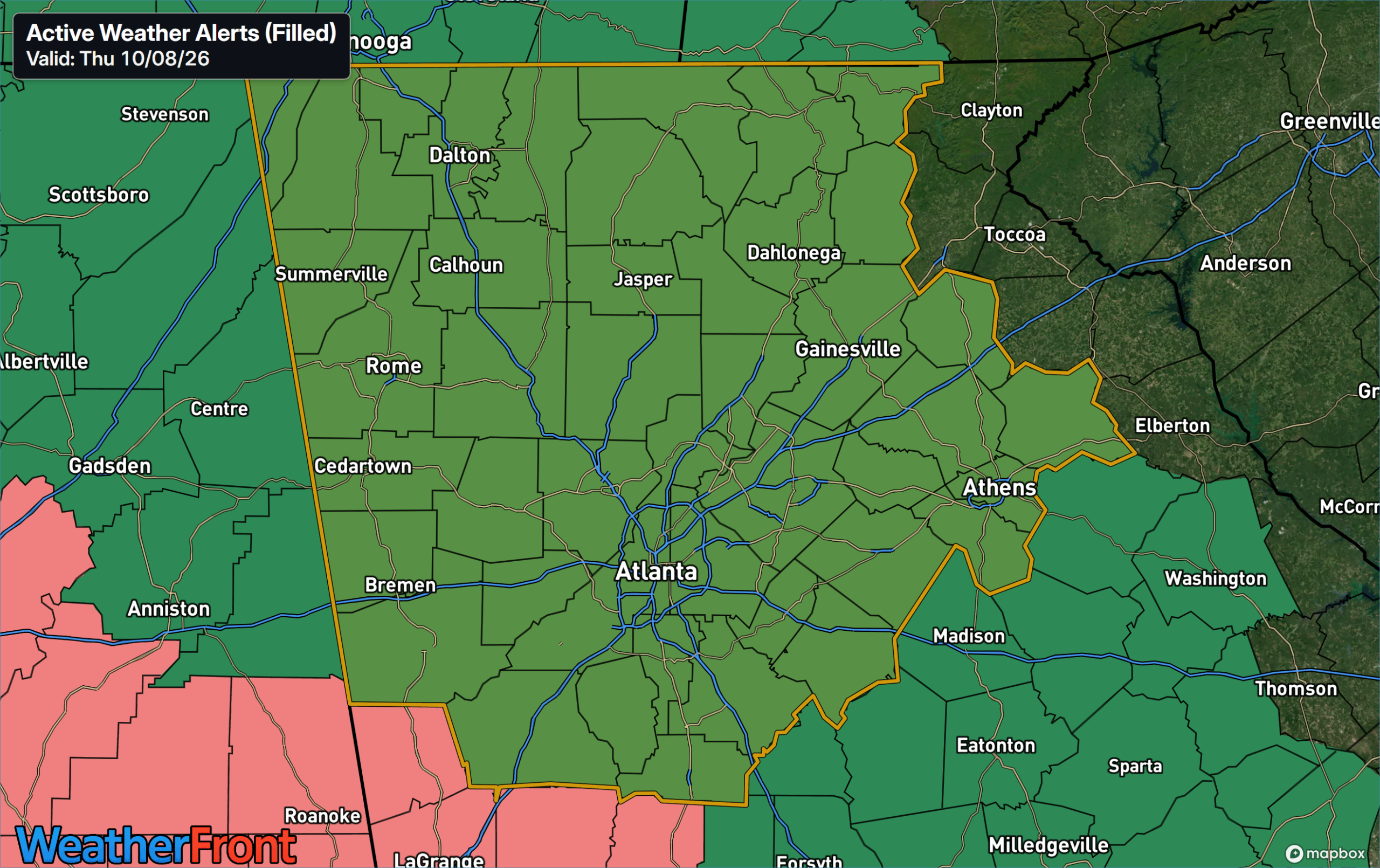
In the High Wind Watch area, an extended period of strong winds is expected on Saturday and Saturday night. Wind gusts of 30-40 m.p.h. are likely, with gusts as high as 50 m.p.h. possible across higher terrain and parts of northwest and west-central Georgia. Sustained winds of 35 m.p.h. with gusts to 60 m.p.h. are possible in the Tropical Storm Watch area further south.
Flood Watch
A Flood Watch is also in effect for all of North, Central and most of South Georgia. Again, the South Carolina border counties under the Greenville NWS are currently not included. All areas under the Tropical Storm Watch are also under a Flood Watch.
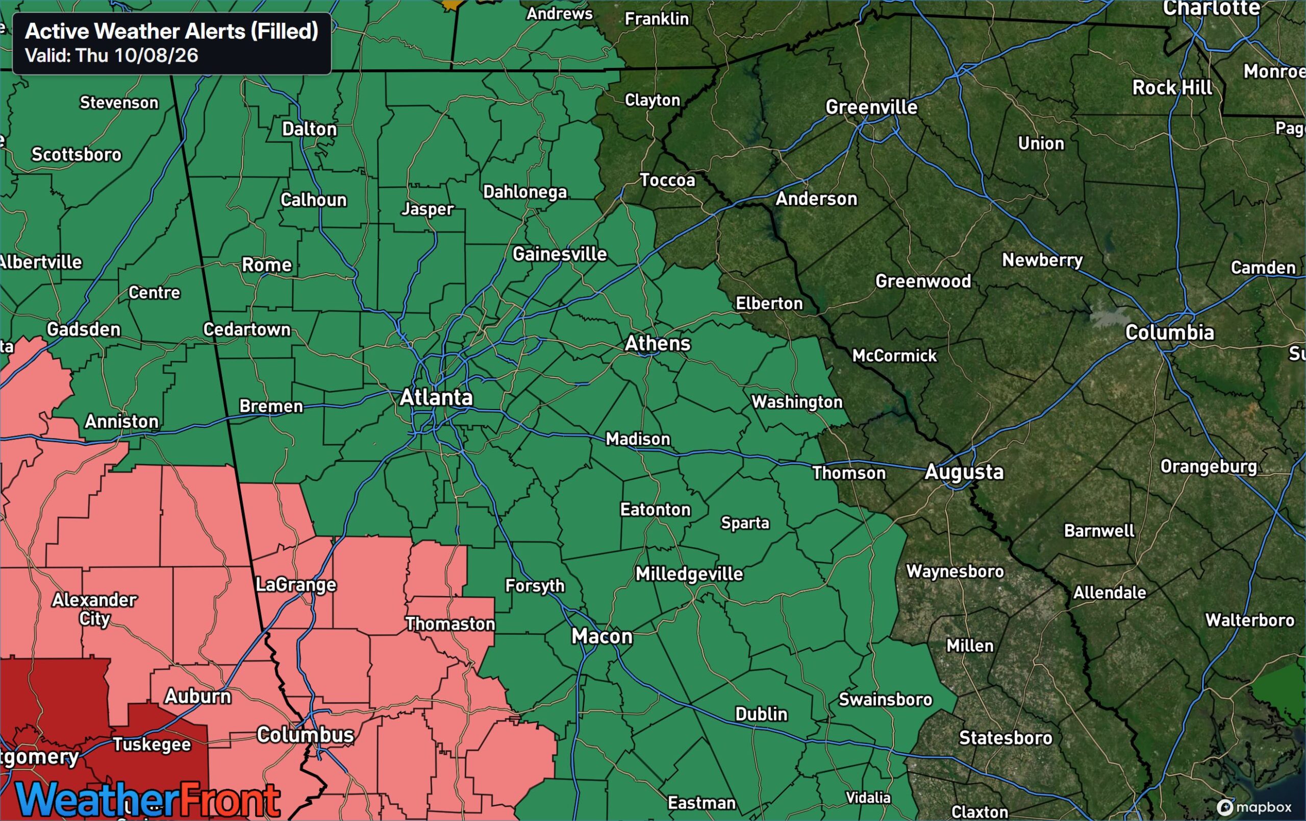
In the Flood Watch area, total rainfall amounts of 1-3″ are likely, with isolated amounts up to 5″. Isolated flooding of low-lying areas. Flash flooding is also possible due to the heavy nature and potential banding of the heavier storms as the remains of Isaias race north Saturday into Saturday night.
A tornado risk also exists for all of Georgia Saturday into Saturday night.
For a full discussion on Hurricane Isaias please see the post below:
Hurricane Isaias remains Cat 1, watches/warnings issued across Georgia
Don’t miss what everyone in town is talking about.
Join 4,000+ locals and choose our free newsletter covering news, events and the stories shaping our region.