

A strong arctic cold front is expected to bring a risk for severe storms then flurries to North Georgia on Sunday night into Monday.
Severe Threat
The Storm Prediction Center has placed all of North and Central Georgia under a slight (level 2/5) risk for severe storms on Sunday night. An enhanced risk (level 3/5) is in place to our west where storms are expected earlier in the day on Sunday. An additional small enhanced risk was added to south Alabama and far southwest Georgia including Columbus. This enhanced area may be removed in coming outlooks depending on how models handle the potential development of supercells ahead of the advancing line.
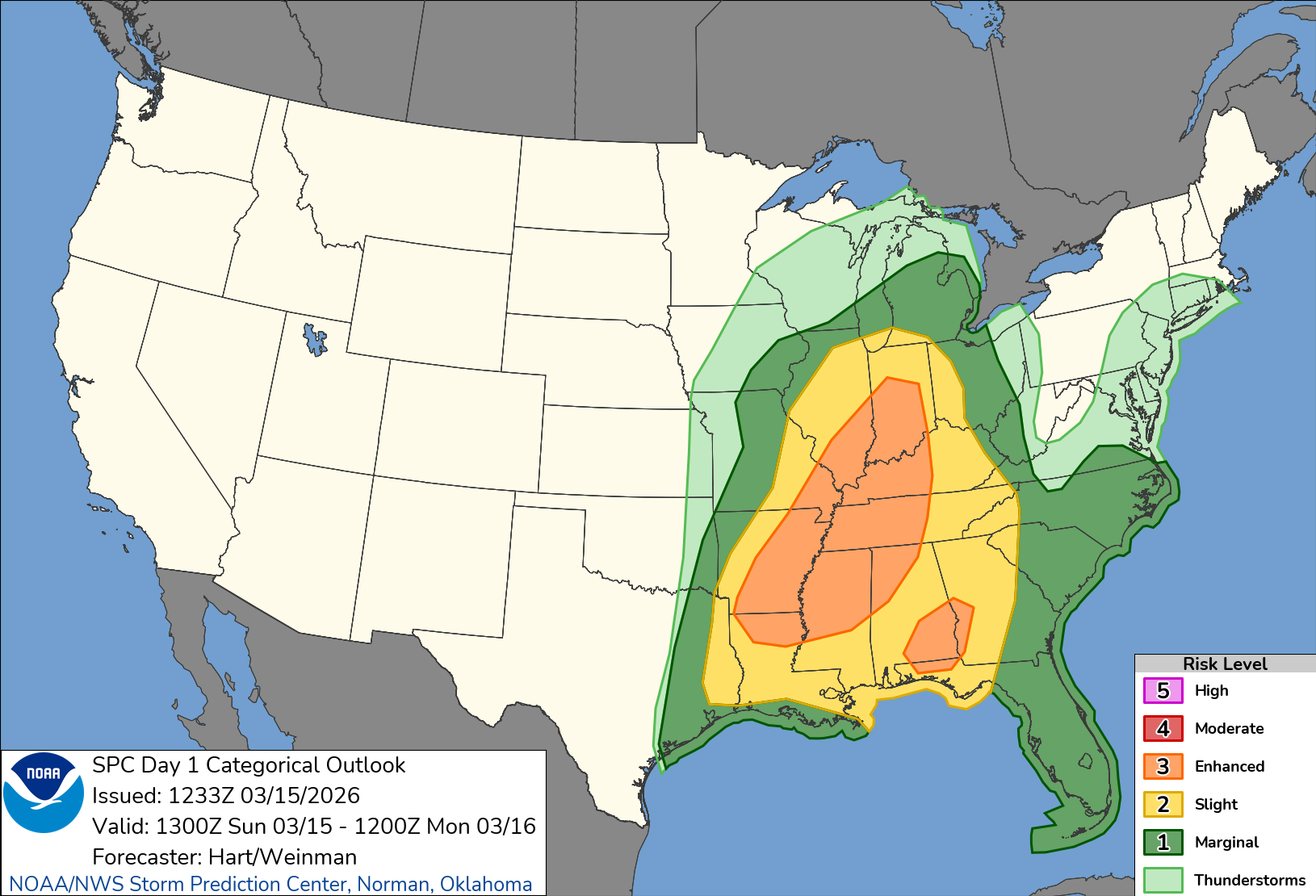
A line of strong to severe storms is likely to develop along or just ahead of a rapidly advancing arctic cold front during the day Sunday and race very quickly east. Additional storms may develop just in front of this line, of which some could also be strong/severe especially across Southwest Georgia. Current modeling shows the line arriving in northwest Georgia around 2 a.m. on Sunday night and quickly advancing east through 6-7 a.m. This will be a very quick moving line of storms with forward motion of 40-50 m.p.h. clearing the entire state in just a few hours.
Damaging winds are the primary threat with this line and they could be fairly widespread. This set-up will also be ripe for quick spin-up tornadoes along the line. Any storms that develop ahead of the line will have a higher risk for brief tornadoes as well. The severe threat should push into far southeast Georgia by 9-10 a.m. An additional risk for severe storms will develop along a second line of storms on Monday afternoon. The bulk of this threat will be limited to southeast Georgia with a much higher risk from the Carolinas into the mid-Atlantic. Surface temperatures will have plummeted to the 30s/40s in the northern 2/3 of the state by early afternoon so any severe threat will have to occur east of that.
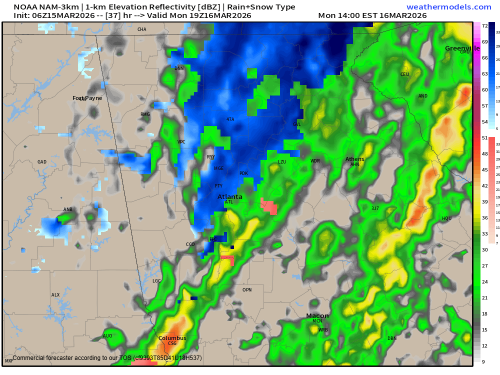
Cold, rain/snow mix and gusty winds
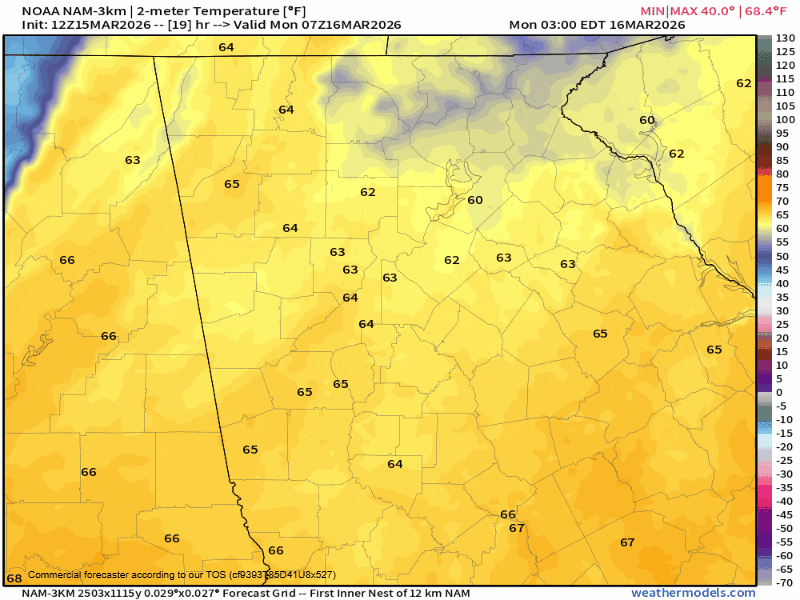
Behind the arctic front temperatures will go into free-fall mode. Temperatures will be in the low/mid-60s ahead of the front, but fall quickly into the 30s in the Northeast Georgia mountains and low/mid-40s elsewhere in its wake. Temperatures will be below freezing region-wide by midnight and lows on Tuesday morning are expected to bottom out in the low/mid-20s. A Freeze Watch is in effect for the entire state under the Peachtree City weather service office, but these temperatures are not at all unusual for this time of year.
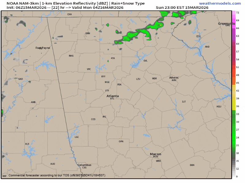
Because of this quickly moving cold air, models are in increasingly good agreement that we will see a rain/snow mix on the backend of the precipitation on Monday afternoon. The best timing for any snowflakes will come 1PM-4PM. No accumulations or impacts are expected, but the total turnaround from storms to possibly snowflakes is only about 6 hours.
Regardless of any severe storms, winds will be very gusty immediately ahead of and just behind the front. South winds gusting at 30-35 m.p.h. are likely ahead of the front early Monday morning, with gusts from the northwest at 30-35 m.p.h. just behind.
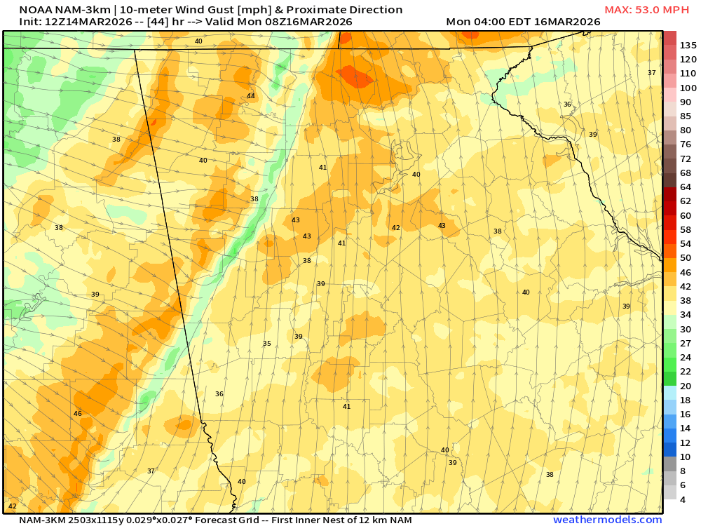
These gusty winds will continue through the day on Monday and into Tuesday. Some mountain locations could see gusts up to 40-45 m.p.h. both early Monday morning and Monday afternoon as well.
Stay weather aware and we will keep you up to date on the latest.


