

A strong cold front will bring isolated severe storms to the region overnight Wednesday with a big cooldown expected on Thursday.
The Storm Prediction Center has all of North Georgia under a marginal (level 1/5) risk for severe storms overnight, with the far western portions of the state under a slight (level 2/5) risk.
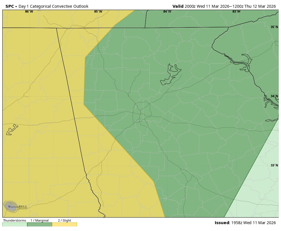
A line of showers and storms currently over the Mississippi Valley will push east overnight. These storms will be generally weakening as they move into our region, but an isolated instance of damaging winds is possible, with an isolated tornado also not out of the question. The risk will be highest to the west and lowest to the east. Storms may move into Northwest Georgia as early as 8-9 p.m. with the risk shifting east through 4-5 a.m. across the far eastern portions of the state.

One thing you may have noticed in that loop is some blue showing over the mountains. Short range models are in fairly good agreement on a quickly cooling airmass as a low pressure system develops to our east. This may be just enough to cause the precipitation to end as, you guessed it, snow across the higher elevations. Obviously no problems are expected and there is a very good chance this doesn’t manage to happen, but the potential is certainly there. The best time for any snow would come from 8-10 a.m. on the back edge of the precipitation.
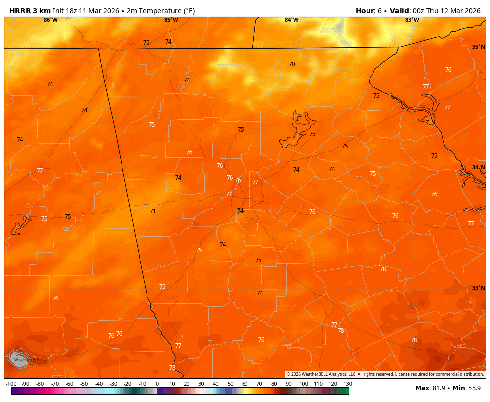
It will certainly be getting much colder. After an extended period of mid/upper-70s, highs on Thursday continue to trend down. The latest modeling keeps the mountains in the 40s with only low/mid-50s in the foothills. Further south temperatures are expected to reach the upper-50s in the I-20 corridor with gradually warmer highs the further south you go. The temperature gradient will mean business early in the morning and winds will be breezy from the northwest at 25-30 m.p.h. across the entire northern 2/3 of the state on Thursday afternoon.
A widespread frost/freeze risk is expected on Thursday morning, which is far from unusual this time of year but a good ways from what our temps have been lately.
Stay weather aware and stay warm!


