

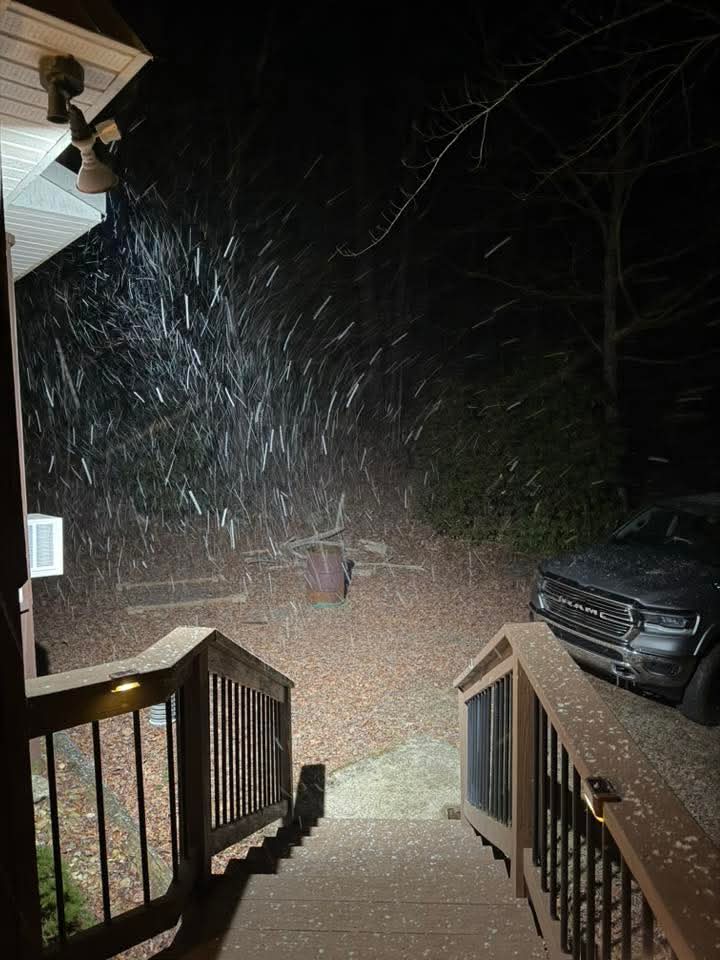
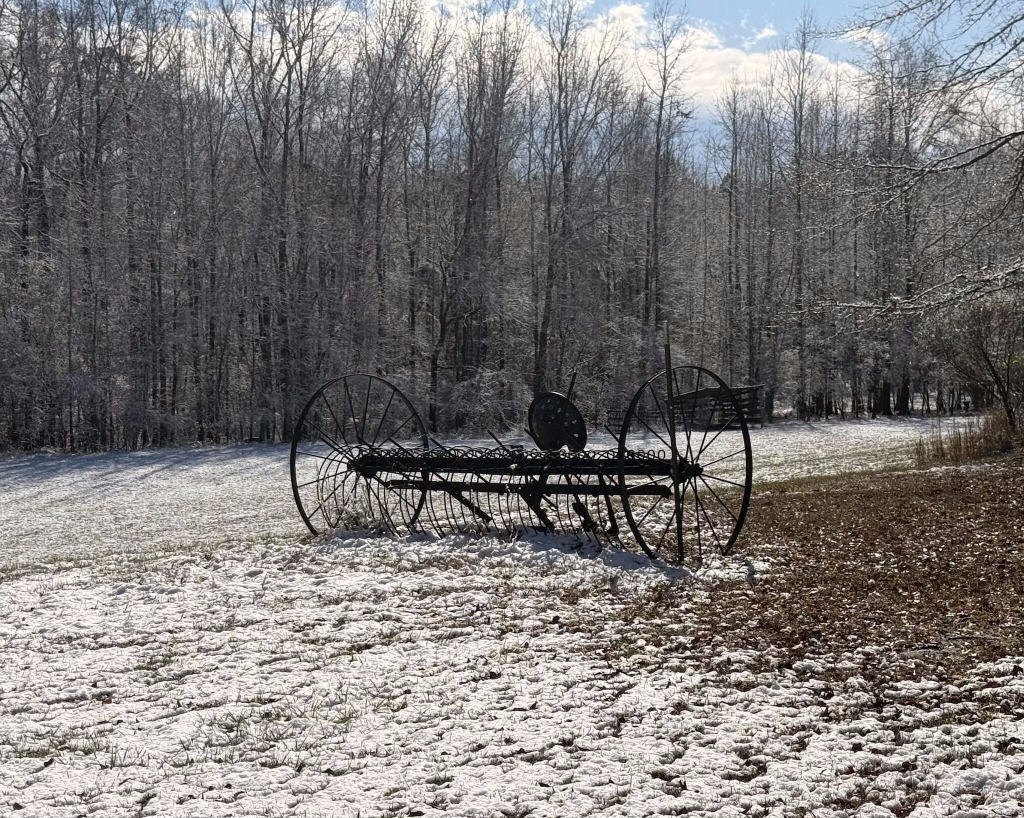
A coastal low brought a rare, light snowfall to Central Georgia Sunday morning. The snow was triggered by frigid air diving south behind a cold front, allowing snowflakes to form as far south as northern Florida.
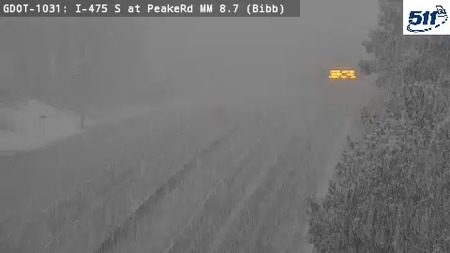
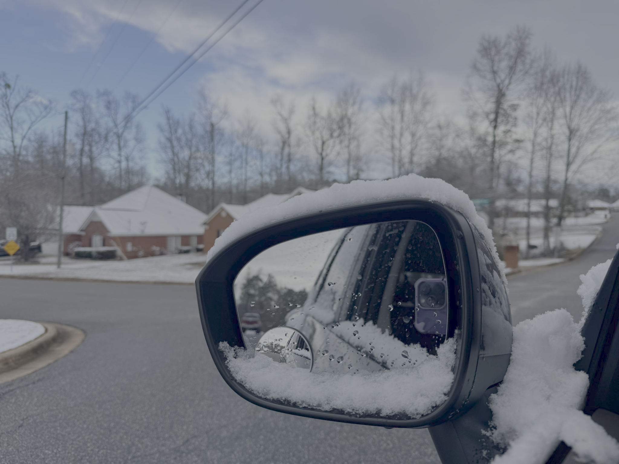
In Georgia, areas including Columbus and Macon saw snow accumulate on the ground, with enough to make travel treacherous in spots. Snowfall totals were generally light, with between a dusting in many areas and up to 3″ near Monticello.
The Columbus area saw snow begin in the early morning hours, and by daybreak, around 1.5″ had accumulated. This was enough to coat cars, make travel a bit treacherous in spots, and put smiles on everyone’s faces.
Elsewhere, Thomaston reported 1.6″ with Barnesville reporting 1.5″.


Neighboring states
Across Southeastern Alabama, a winter storm warning was in effect early Sunday, with 1–2 inches of snow reported in Phenix City and places like Coffee, Dale, Henry and Geneva counties. Lighter amounts were seen in surrounding counties. Roads largely stayed free of snow cover as temperatures warmed and snow ended by late morning.
In the Florida Panhandle, areas to the west briefly turned into a “snowy state” for the second year in a row. Snow briefly dusted grass, rooftops and even palm trees in areas near Pensacola and Holt, though warmer ground temperatures kept roads mostly clear.
The southern snow was short-lived but memorable, drawing photos and social media posts from residents who rarely see winter precipitation.
The Winter Weather Advisory for the region has been allowed to expire as the snowfall moves northeast into parts of South and North Carolina.


