
It is important on any hiking trip, especially to the higher elevations of the American West, to have backup plans. The weather can be extremely dicey and hard to predict, and often is just not cooperative at all. That was the case as I rolled into Crater Lake National Park.
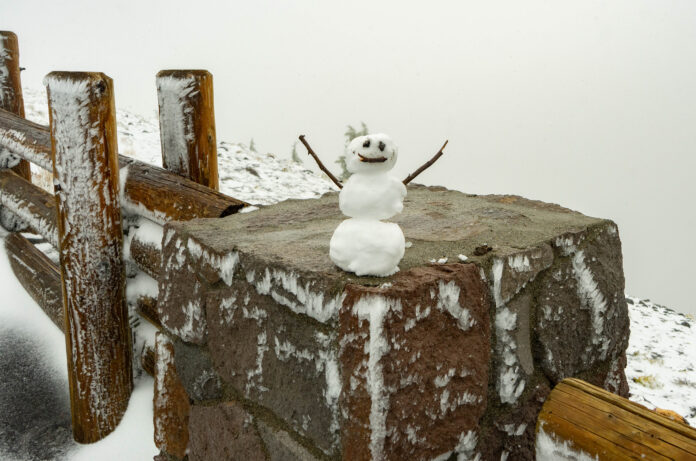
My first view of the lake came during the evening after I left Cinder Cone. A quick stop at a lava tube and a 3 hour drive put me on the rim of the giant, ancient volcano. Unfortunately, the view was mostly a sheet of white – fog, that is. A strong upper level weather system was swinging through bringing rain and temperatures in the mid-30s for my arrival. By the time I woke up the next morning and headed back up to the rim, I was greeted by something extremely odd for a Georgia boy in mid-September: snow.
The snow level had fallen to around 7,000-7,500ft elevation overnight, putting the 8,000ft western side of the crater rim solidly in snow. The highest point on the western side had a solid 1-2″ of fresh snow on the ground sticking to absolutely everything.
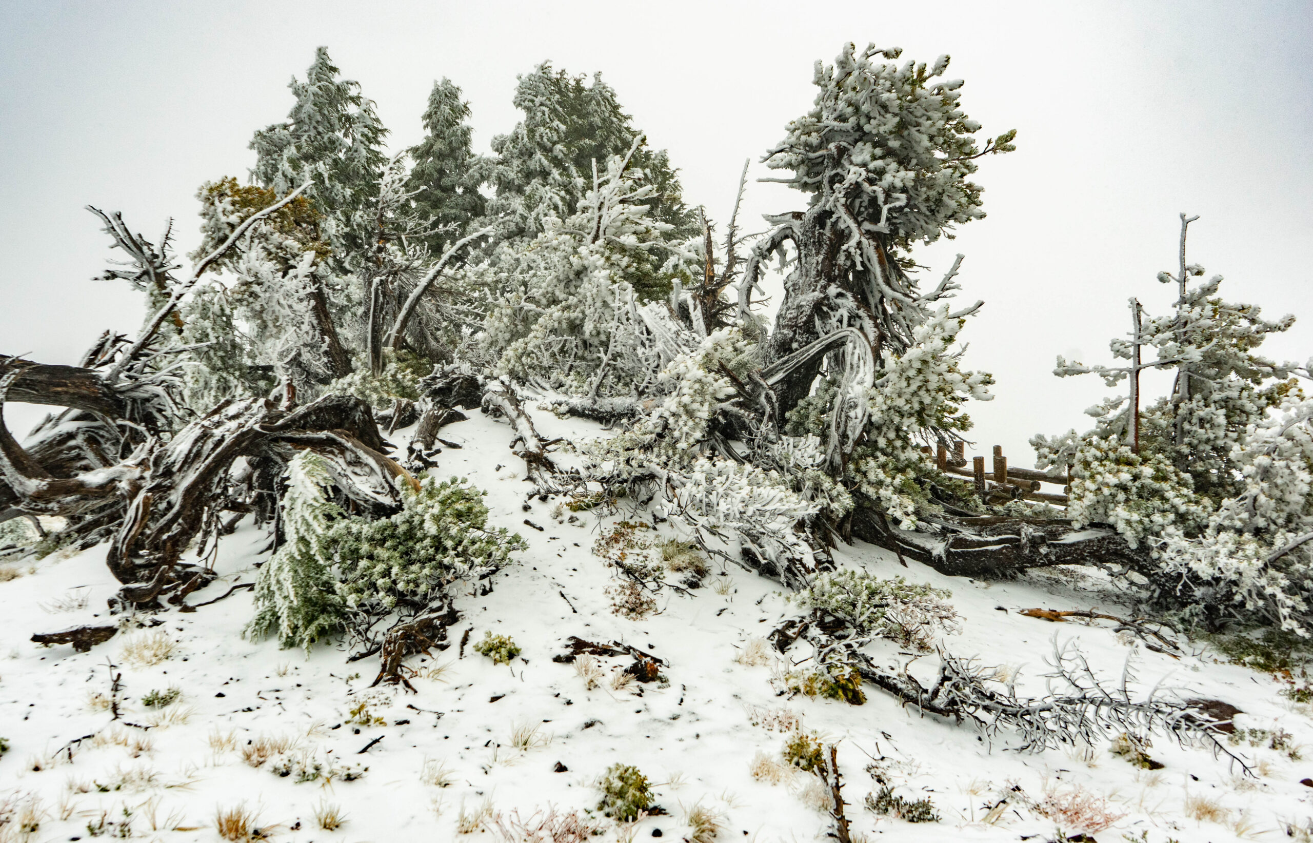
While I am not against hiking in the snow, all of my primary plans for the day included hikes that led to views. All these hikes were socked in heavy cloud cover which made them a bit moot. So…. I pulled out my backup plans.
Driving several, several thousand feet of elevation down from the north side of Crater Lake on state highway 138 takes you into some beautiful Pacific Northwest rainforest and waterfall country. Numerous waterfalls can be found along this road, but today I was only reasonably going to have time to do a couple and still make it back to Crater for some hopeful views during the afternoon.
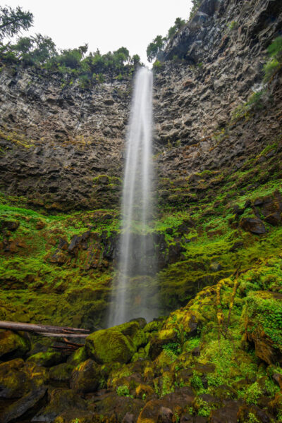
My first stop was Watson Falls. This falls is a staggering 272 feet tall, and appears like staring up at a skyscraper from the base. A small cascade downstream makes for some good framing, but it took every bit of my wide-angle lens to get this scene all in one shot.
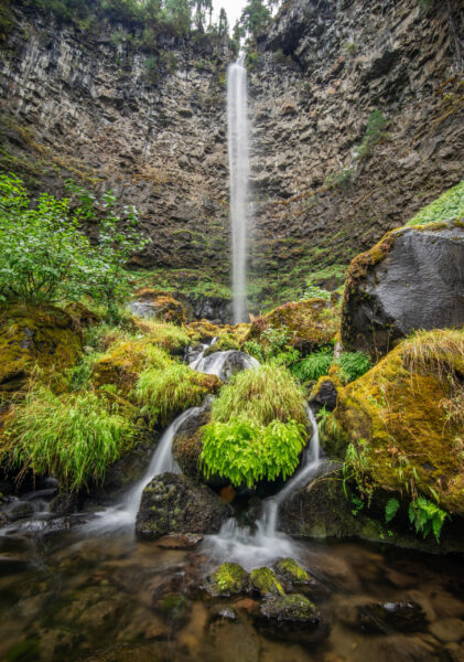
You can climb up to near the base, but with the chilly temps I wasn’t tempted to get terribly close and get soaked by the spray. No doubt this would be a wonderful spot to visit on a hot summer day.
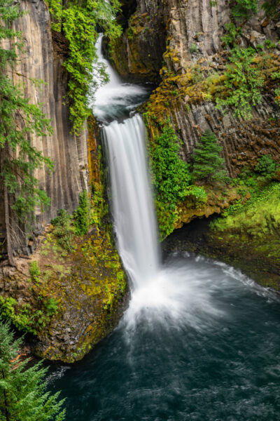
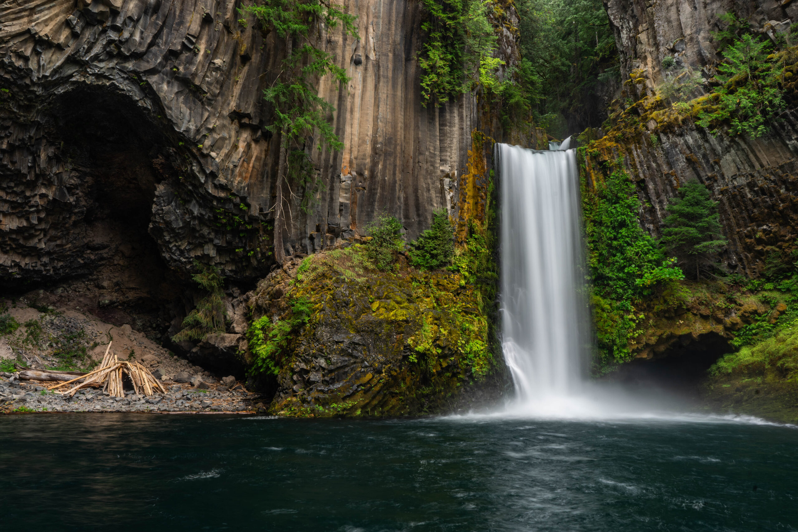
Just a few miles down the road is one of Oregon’s most visited waterfalls: Toketee Falls. This waterfall features a short stroll along a boardwalk to an overlook of this 120ft double-drop falls. The first thing that probably stands out are the columns of rocks along the sides of the cliff. This columnar basalt is my favorite type of rock, and can be found in many places in this area. It forms from cooling lava that solidifies into a hexagonal pattern and erodes to show these columns.
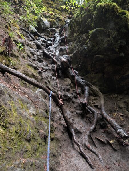
There is no official trail to the base of Toketee Falls. Note I said “official”, because there is an unofficial one. Naturally, I had to figure out how to get down there and view this beauty up close and personal. This “trail” quickly gets a bit technical, and requires concentration and a bit of nerve to not fall down the hill. Luckily, there are several ropes through the worst sections to help, but it it still a slick nearly vertical downclimb.
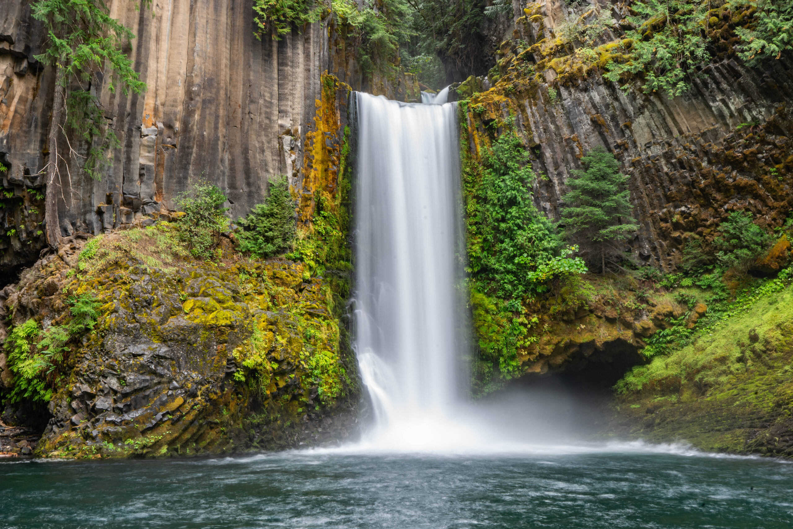
If you are brave enough to reach the base, the view that awaits is spectacular. The columnar basalt really shows off, and you get a real feel for the power of this waterfall from up close. A combo of spray and rain made it somewhat difficult to get good photographs, but with patience I was able to snag a few.
In addition to the columnar basalt, something else can be found near the base: bigfoot’s home. This wooden structure was likely put there by some brave swimmers during the summer rather than bigfoot, but you never know.
I departed Toketee and headed back up the several-thousand-foot elevation gain drive this time to return to the shores of Crater Lake. The skies were lifting some and the rain had moved out, but would I actually get to see the lake this time? Only time would tell…..
_______________________________________________________________________
You can check out the last installment of Go West, Young Man Here:
Or start at the beginning here:
Go West, Young Man: Lassen Volcanic National Park – Part One
Don’t miss what everyone in town is talking about.
Join 4,000+ locals and choose our free newsletter covering news, events and the stories shaping our region.