

North Georgians woke Sunday to sub-freezing temperatures and slick roads as a winter storm tightened its grip on the region.
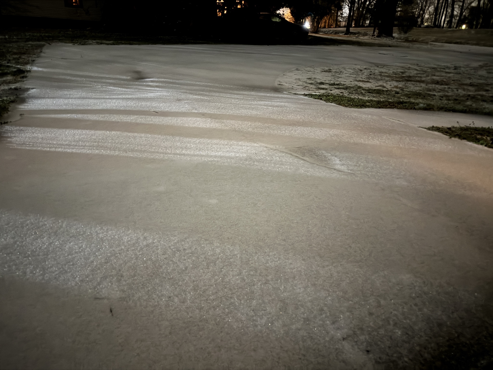
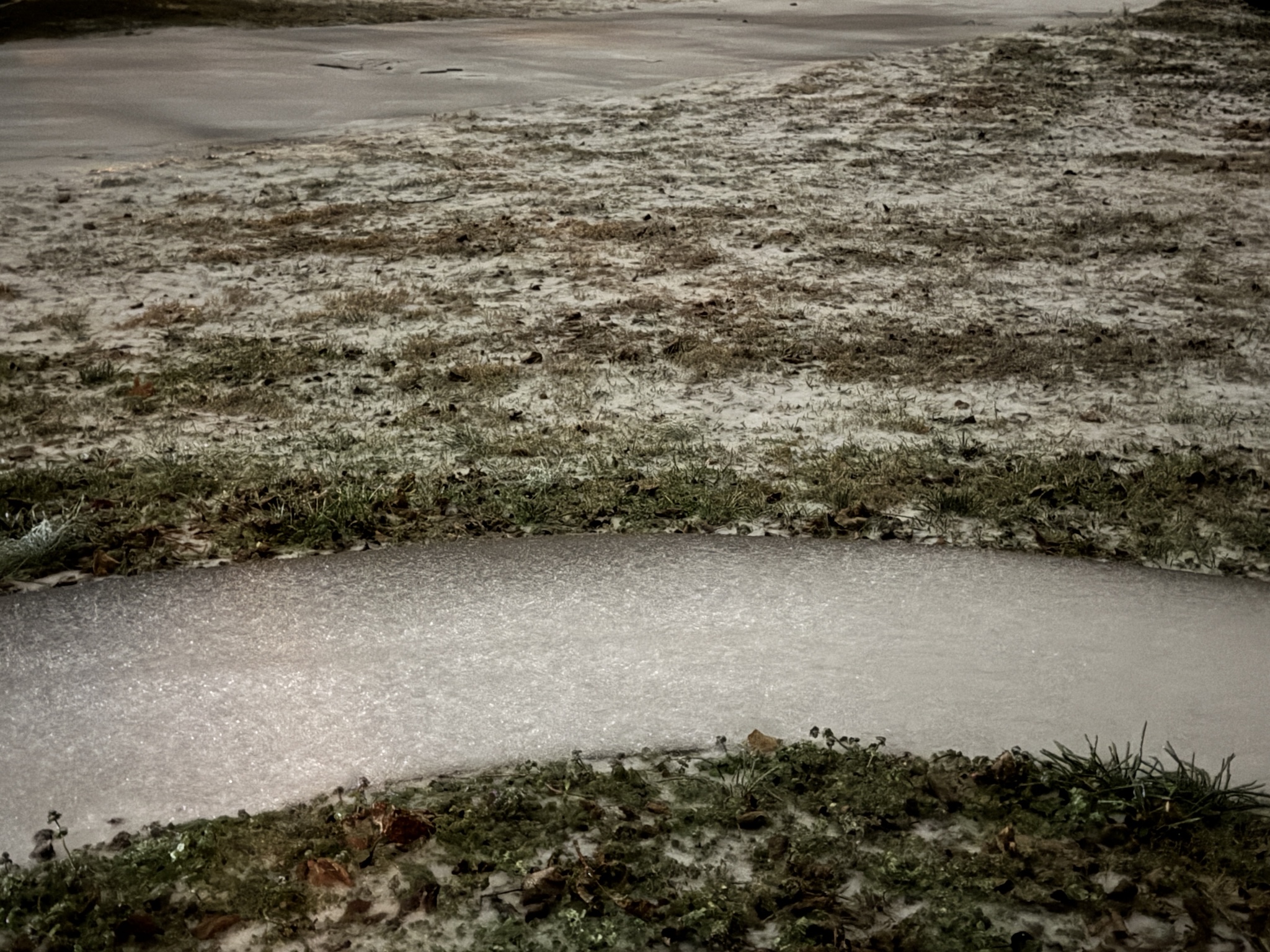
Freezing rain began falling across Habersham County late Saturday night. By early Sunday, temperatures dipped below freezing, settling in the upper 20s as ice slowly coated vehicles and roadways.
Habersham County Interim E-911 and EMA Director Melanie Bellinger said as of 8 a.m. Sunday, “Road conditions are worsening. County Public Works [crews] are out treating the roads.”
Bellinger urged residents to avoid travel “unless absolutely necessary.”
Churches across the region moved their worship services online, many announcing before the storm that they would be closed. Schools, too, are keeping their doors shut on Monday, in anticipation of continued icy road conditions.
A Cold Weather Advisory is in effect from 4 a.m. to 10 a.m. Monday. Wind chills between 0 and 10 degrees are likely during the morning hours, with mountain areas potentially experiencing wind chills as low as 5 degrees below zero.
RELATED
Power outages
As of early Sunday, Jan. 25, power outages began spreading across the region as accumulated ice resulted in downed trees and power lines. Around 5:30 a.m., Georgia Power reported 1,600 customers without power statewide. That quickly grew to nearly 4,300 within an hour. Similarly, Georgia EMC outages doubled in scope in the pre-dawn hours Sunday.

Utility crews were staged across northern Georgia ahead of the storm as linemen prepared to respond to electrical outages resulting from the storm. Gov. Brian Kemp deployed 120 National Guard troops to Northeast Georgia to assist with the storm response.
Weather conditions
Freezing rain is likely through most of the day Sunday, according to NowGeorgia.com weathercaster Tyler Penland. The wedge will gradually erode from southwest to northeast, with areas north of the mountains turning to rain by mid- to late morning.
A line of showers and possibly a rumble of thunder will accompany the cold front on Sunday afternoon. This rainfall on top of sleet/ice accumulations may result in excessive runoff and could result in some isolated flooding.
Behind the storm, the coldest air of the season so far will surge into the region as a strong cold front moves through. Temperatures are expected to plunge into the teens by Monday morning, with daytime highs struggling to reach the freezing mark.
SEE ALSO


